An airport on its way up
Surveying 100+ hectares of potential

Preparing for an airport to expand is a challenging project. Good thing there are true experts on the job at Clemente Panero International Airport in Albenga, Italy.
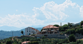
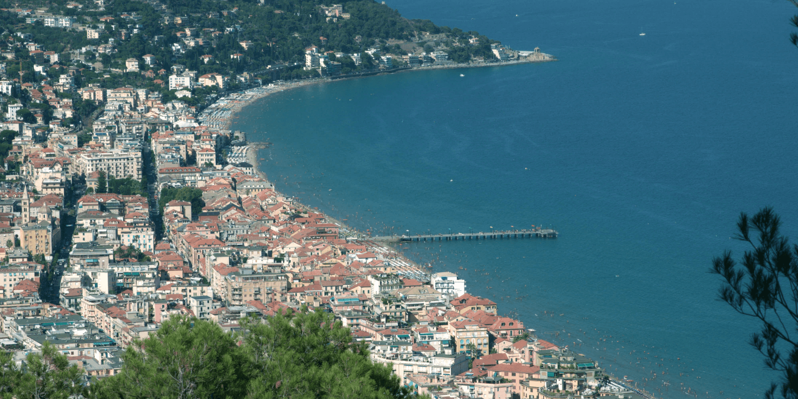
Also known as “the city of a hundred spires”, the coastal city in the breathtaking region of Liguria sure appeals to the imagination. It’s a popular tourist destination.
“What makes this airport special are its beautiful surroundings. It’s also special from an orographic perspective. We’re on a plain, surrounded by beautiful hills and mountains. This is what defines Albenga Airport, also known as Clemente Panero International Airport,” says Giuseppe Scarlata. After 20 years of working at the airport, he recently became its managing director.
Increasing numbers
“Originally called Villlanova d’Albenga airport, it was built in 1922,” he tells us. “At the time it was a military air base. It was turned into a civil airport after World War II. At the end of the 1970s it expanded with cargo traffic – cargo such as flowers from the Ligurian Riviera – but it also did well with regard to civil aviation, offering connections to northern Europe. Two thousand connections were set up: connections with the capital and summer destinations like Sardinia.”
“We are located on the Albenga plain. It’s a strategic position, right between the airports of Nice and Genoa. It’s right in the middle,” says Scarlata.
“We have increasing numbers of movements at the moment, even though private aviation is declining in Italy. That already shows that there is interest in this site. What everybody is totally excited about is the beauty of the landscapes here, how close the beaches are, and how beautiful the mountains are behind,” says Clemens Toussaint, shareholder at the airport.

“We have increasing numbers of movements at the airport, even though private aviation is declining in Italy.”
The length of London city
“Our runway is the length of London City. It can host any plane up to 30 or 40 tons. We now have permission to build up to 60,000 square meters of hangars, which gives us a very privileged position here. In Nice and Cannes, the closest airports on the French side, such opportunities don’t exist. We can build hangars; we can do maintenance here. We can really transform this place into a service point,” says Clemens Toussaint.
He adds: “We want to grow as an airport for general aviation, private aviation, and industrial aviation. Piaggio, the last airplane constructor in Italy, is on site here, and there is a huge amount of traffic from private jets on the French and Italian Riviera, so we want to position ourselves as an alternative.
It’s an unexplored airport in an area where three countries meet – Italy, France, and Monaco – and we are currently discussing the future with the governments of Italy and Monaco.”
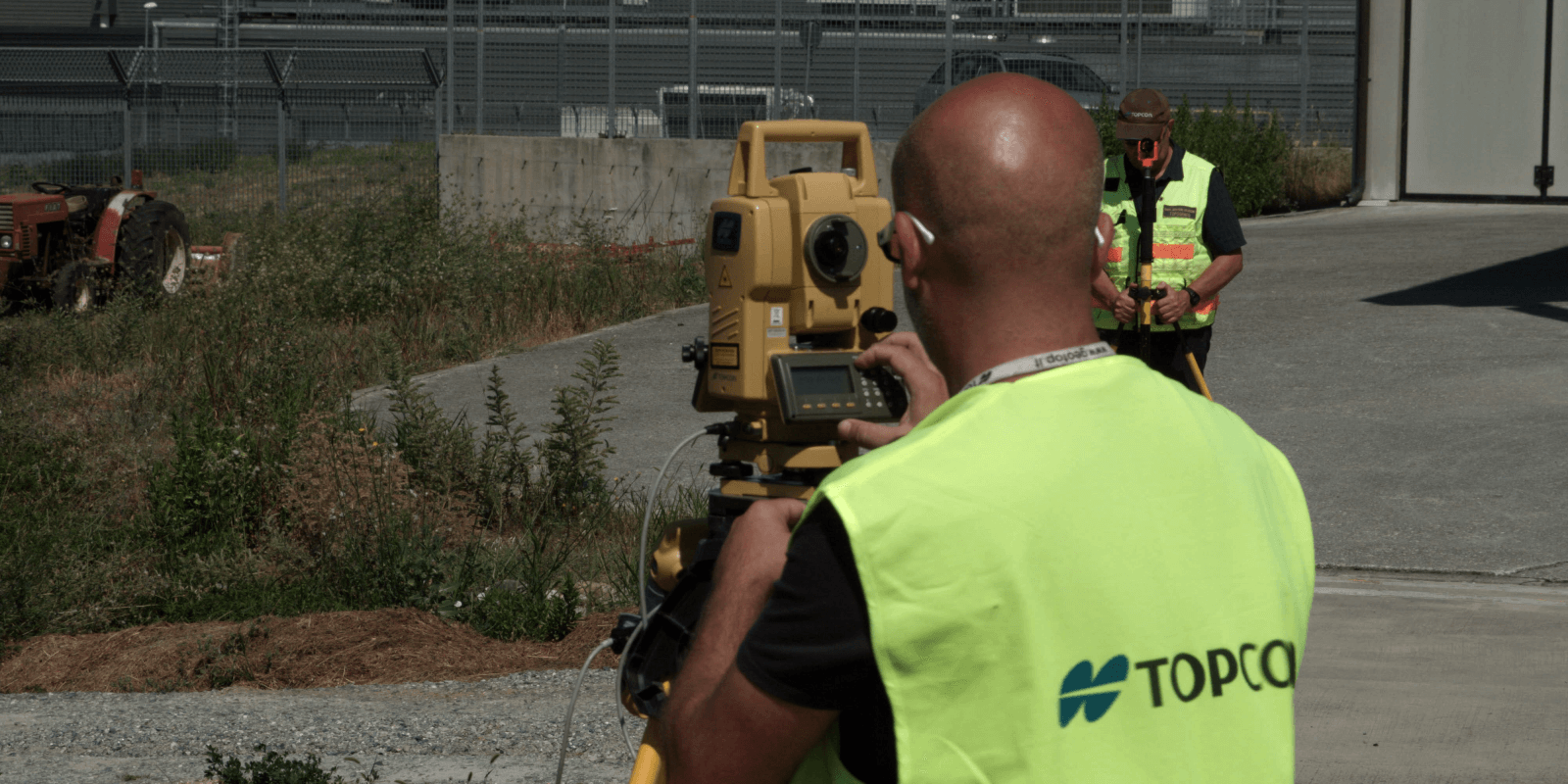
To be able to expand, it is first necessary to thoroughly investigate the current situation. This job is in the hands of Giovanni Velizzone, an experienced topographer, and his company, Studio Tecnico Velizzone. The studio has been active for over 25 years, working on all things topographical in all of northern Italy.

“It was a challenging project. Besides classical topography, you also have to take the requirements of civil aviation into account.”
Topography meets aviation
All this time, Studio Tecnico Velizzone has used Topcon instruments to conduct its work. Giovanni Velizzone: “Our collaboration is excellent. To me Topcon is almost like family. This relationship has helped me grow my business throughout the years.
Right now we’re working on the registration of airport grounds. Before this, we mapped the entire site surrounding the airport. In other words, we set up the airport’s Geographic Information System. Following all specifications, we have produced detailed maps of the airport grounds, including goods and services.
The work has been quite challenging. Besides classical topography, you also have to take the requirements of civil aviation into account. These diverge somewhat from conventional topography. Another challenge was setting up a grid framework that covers all of the airport grounds, which comprise more than 100 hectares.”
Velizzone and his company have worked with several Topcon instruments on the airport grounds. “It started with the Total Station GTS-700. We used those when we started working here. We used the first legacy GPS receivers. Now, we use GPS Base and a GR-3 Rover. We also work with the PS-101, MS05, and GPT-3002, all of them equipped with controllers.”
With the help of Velizzone’s company, Clemente Panero International Airport is preparing for an exciting new chapter. And if you ask us, they are bound to pass with flying colors.
