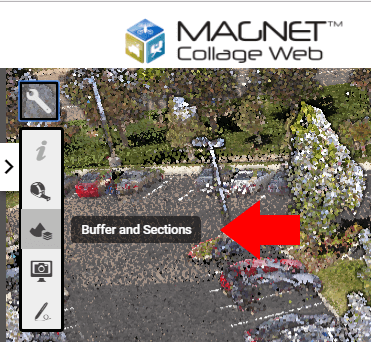
Buffer and sections tools
- These tools are used to visually analyze and select points in the scene, following geometric constraints.

Longitudinal section
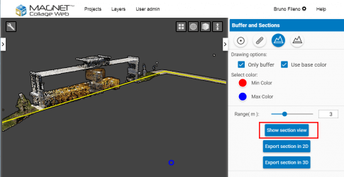
- This tool also uses a line, but selects points which are closer in X and Y, regardless of their height, so the result is a longitudinal section of the point clouds along the line. It can be used for topographic profiles and creating vertical cuts of the data.
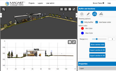
- By using the "Show section view" button, the user can display the selected points in a Section View

Section View
- In the Section view the user can zoom and pan to explore the data. The view can be expanded like the 3D and Map views.
- Please note that the Section view does not show all the detail of the original data, only points visible in the 3D View.
- If the user wishes to see more points in the section, he/she must zoom closer in the 3D View and then click on the "Show section view" again to refresh it.

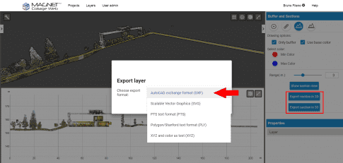
Export Layer
-
The section points can be exported to a file by using the "Export section in 2D" and "Export section in 3D" buttons.
- In 2D export, the data will have XY coordinates, as in the Section window.
- In 3D export, the points will have XYZ coordinates.
- If the layer has a coordinate reference system, and it is different from the Project's, the exported data will be reprojected to the Project CRS.
