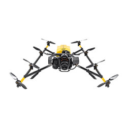
Aerial Inspection and Mapping
See and capture the bird's eye view
Aerial and mapping systems for mass data capture
Aerial and mapping systems for mass data capture
Go high, far and wide
UAVs for vertical and horizontal mapping and inspection
Insights & Testimonials
View More Insights
We've Got You Covered
Need more info?
We can email you additional product information. Your contact information will never be shared.
See it in action
Your local dealer can't wait to show you what we can do for your business.


