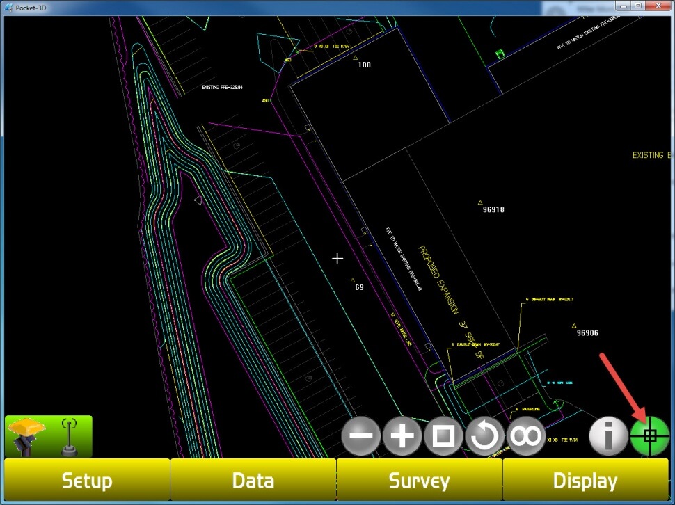
Step 1-Selecting A Polyline
Select The Crosshair On The Green Button In The Lower Right Hand Corner
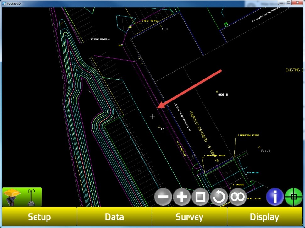
Step 2
Use The Stylus To Select The Polyline You Want To Stake-Out, The Polyline Will Now Become Dashed
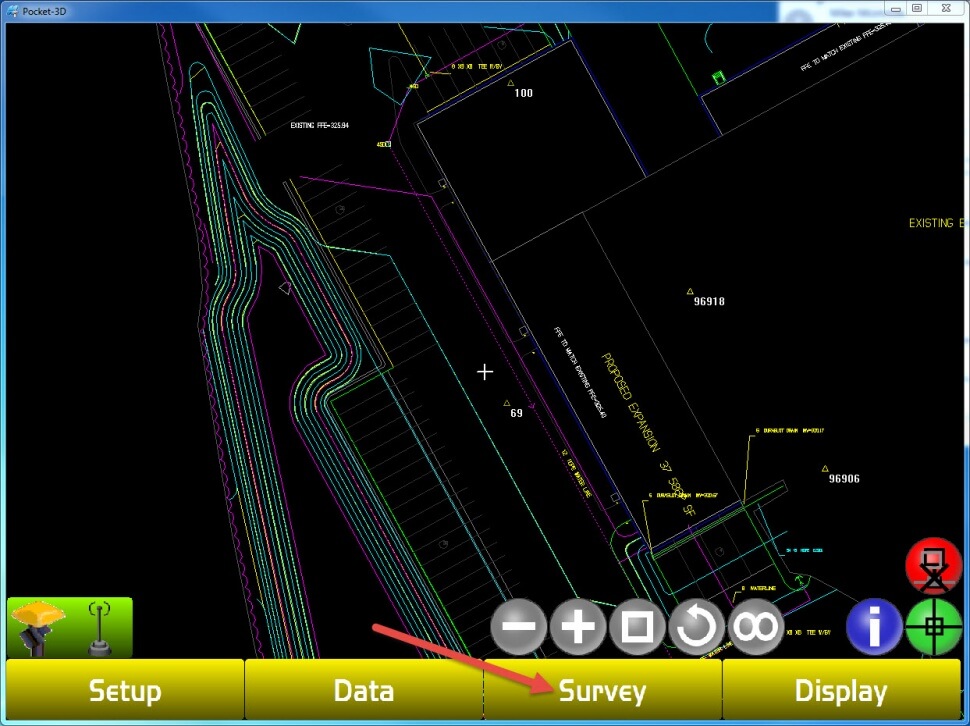
Step 3
Select The Survey Tab
Step 4
Select The Stake-Out Option
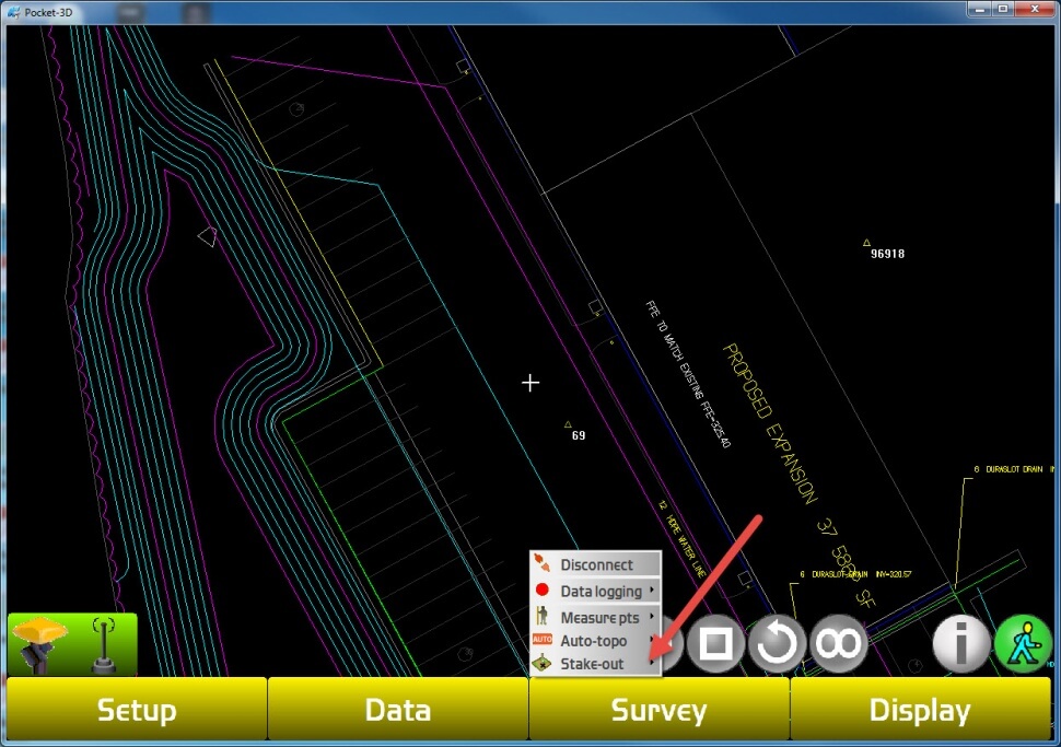
Step 5
Select The Polyline Option
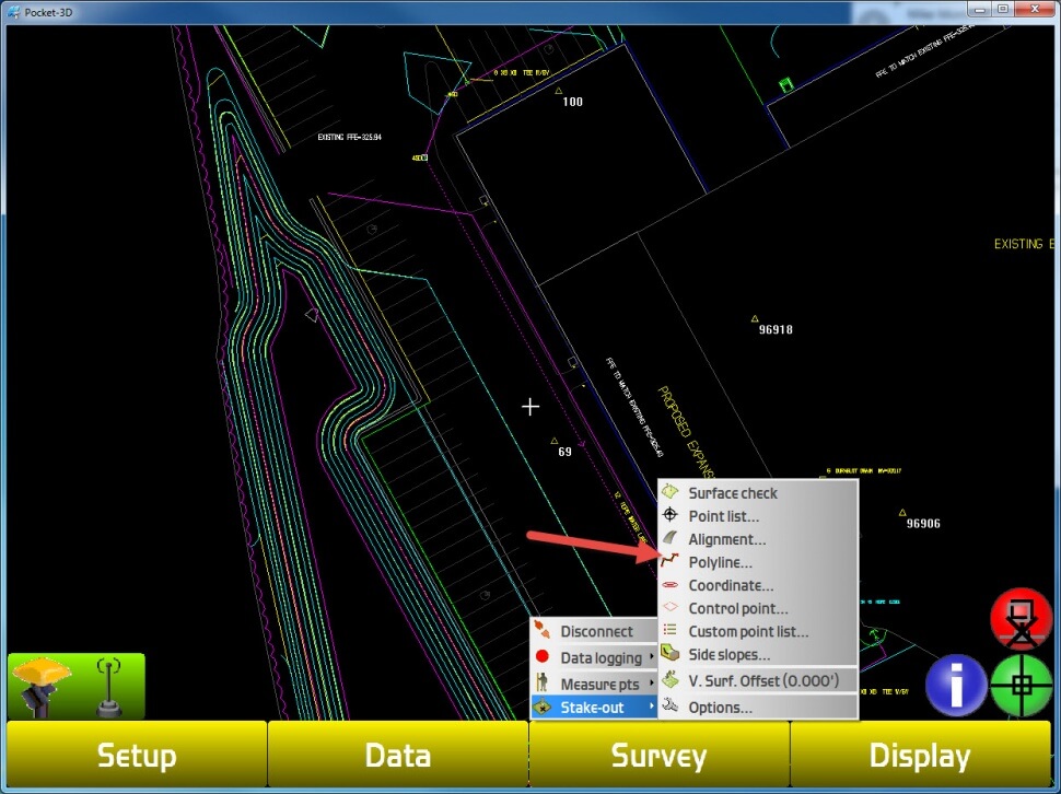
Step 6
Click On The Small Arrow Box, Then Select The Feature You Would Like To Stake Out On The Polyline
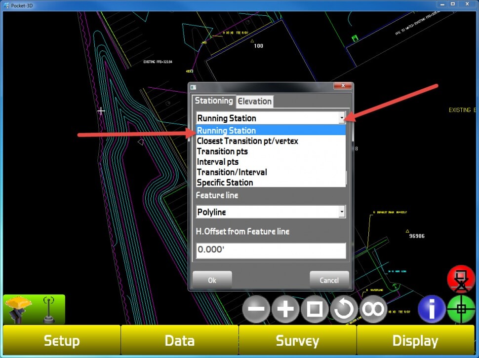
Step 7
Select The Elevation Tab. Then Use The Arrow To Select The Surface Feature You Want To Use For Elevation Reference
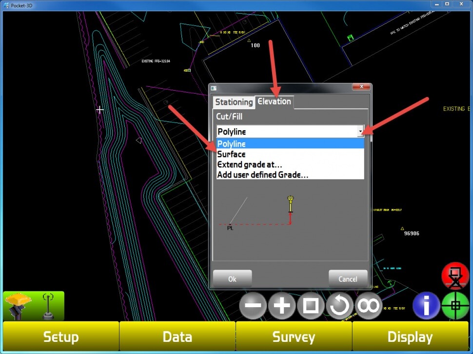
Step 8
The Polyline Stake-Out Parameters Will Now Be Displayed On the Bottom Left Hand Corner
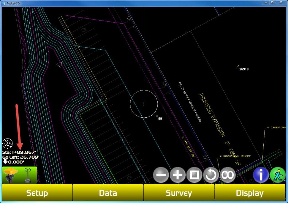
Step 9 Stop Stake-Out
Select The Survey Tab
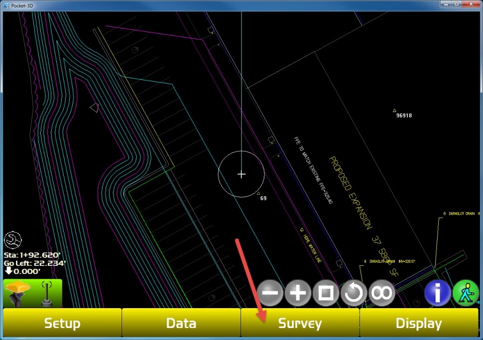
Step 10
Select The Stop Stake-Out Option
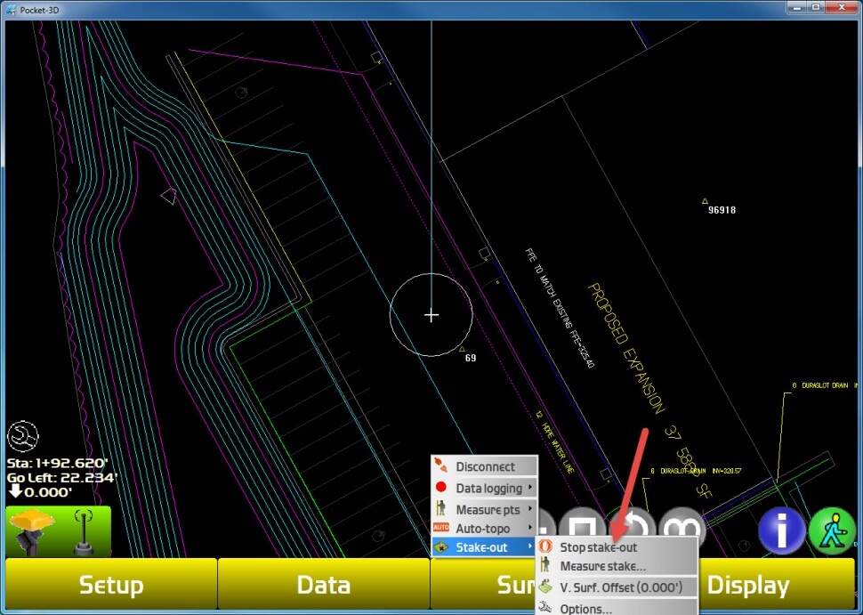
Step 11
The Screen Will Now Return To The Map View
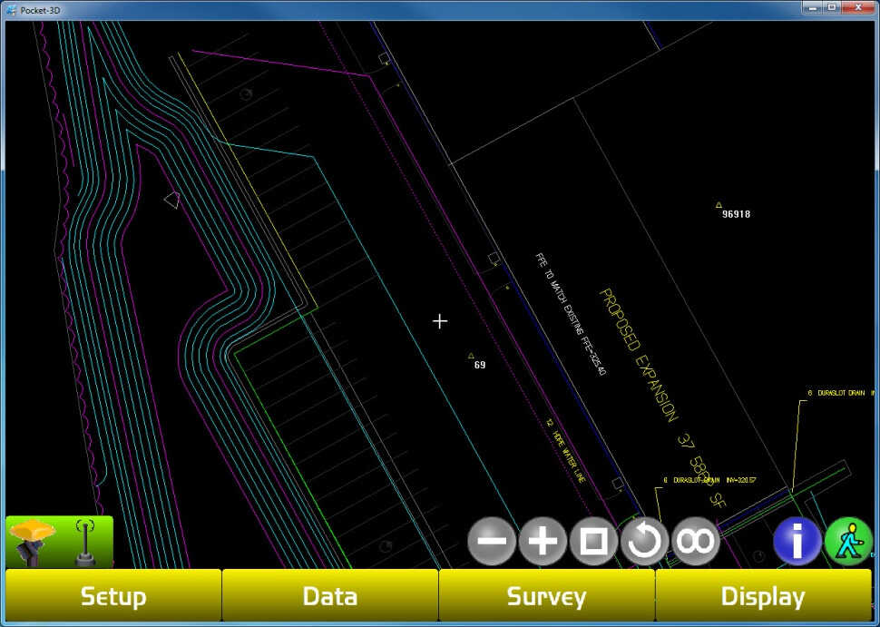
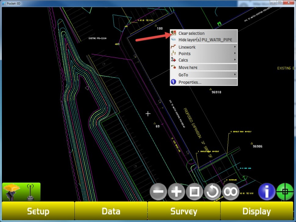
Step 12-Deselect The Polyline
Hold The Stylus On A Blank Portion Of The Screen, Then Select Clear Selection
