Surveying
Precise positioning from field to office and back
Geopositioning solutions for surveying, mapping, monitoring, and construction
Geopositioning solutions for surveying, mapping, monitoring, and construction
WATCH VIDEO
Measure, design or build your way
Our positioning technology is known around the globe for ease of use and unparalleled flexibility. End your projects on time and on budget with the most accurate and reliable surveying technology out there.

Integration without complication
Non-compatible, proprietary file formats and data silos increase your workload and reduce efficiency. Optimize your time and effort with tools that unite all your file and data types into one compatible environment – allowing you to perform your work in the field and easily export data where it needs to go.

Close enough isn’t good enough
Inaccurate survey data can damage your reputation and increase your liability. From robotic total stations, GNSS, and beyond, our products perform under the most demanding conditions to deliver data, hardware, and software you can build upon with confidence.
For geopositioning, construction and mapping professionals the MAGNET suite links field to office in a secure online environment, improving management for entire teams.
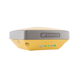
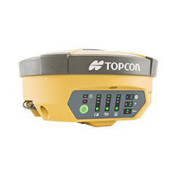
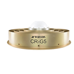
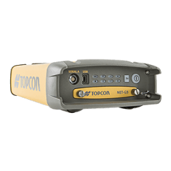
Topcon GNSS products deliver superior performance through a broad array of patented technologies. Combining signals from multiple satellite systems, our GNSS products calculate highly accurate positions in three dimensions.
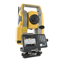
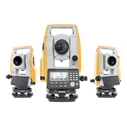
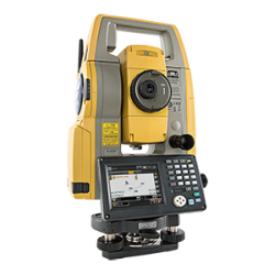
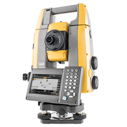
Topcon Total Station Solutions feature renowned optics and legendary durability combined with cutting-edge technology to maximize measurement productivity on a daily basis. With the most powerful reflectorless system available, you receive superb prism tracking and a built-in security standard.
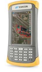
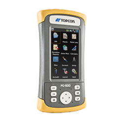
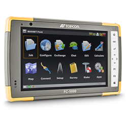
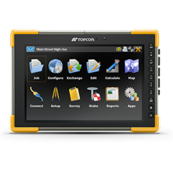
Topcon field controllers feature bright color touch screens, rugged construction, and robust computing power with Bluetooth® and WLAN connectivity.
Our software is designed for the way you work, with both specialized and modular solutions that integrate with Topcon hardware, and cloud connectivity to bring it all together.
Topcon Enterprise Solutions are revolutionary anytime/anywhere connectivity and remote
management solutions that will make every geospatial and construction firm more productive.
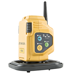
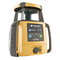
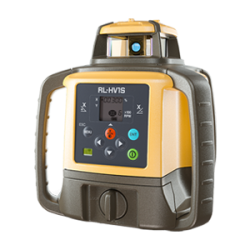
Lasers, levels and theodolites should just work. Topcon instruments remove the guesswork with auto-levelling, auto-alignment and other features that let you work faster and more accurately.
Insights & Testimonials
We've Got You Covered
Need more info?
We can email you additional product information. Your contact information will never be shared.
See it in action
Your local dealer can't wait to show you what we can do for your business.

