Mining
Manage costs, increase efficiency
Mining — it’s all about minerals, assets and hauling. Topcon solutions give you the tools to be more productive, making it easier to control your resources, machines and schedules.
Mining — it’s all about minerals, assets and hauling. Topcon solutions give you the tools to be more productive, making it easier to control your resources, machines and schedules.
THE TOPCON MINING DIFFERENCE
We've been a part of surface and sub-surface mining for decades, and we know what it takes to stay successful. What we've learned allows us to provide real solutions for the work you do.
Mine better
Topcon combines a range of technology innovations to provide you with unparalled productivity gains. Maintain constant visibility of your assets, manage hauling efficiently and move your minerals quickly down the line ... that's Topcon smart!
Mine leaner
Knowledge is power — every crew member and machine on site can do more with the visibility and ease of use that Topcon solutions provide. Get more done with less, and expect reliable and accurate results.
Be ready to scale
We want to see you grow. Our mining solutions let you take on more machines in the same management environment and give you onsite visibility right from the office. Topcon technology is your ticket to mining productivity, and we’re here to help you make the most of it.
CLOUD-CONNECTED MASS HAUL PLANNING
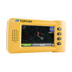
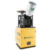
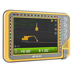
No more manual records of load counts. Track the progress of every haul, and keep everyone on the job in synch – excavators, trucks and personnel. This cloud-based solution relies on a portable control box that mounts in the cab. As the truck is loaded, on route, or dumping material, activity data is stored in a central location for easy online access. The excavator system features a machine control system to assist the operator with guidance about where and how deep to dig.
LOCATION-BASED PRODUCTION MANAGEMENT WITH MASS HAUL OPTIMIZATION
Topcon provides quicker, more realistic and more accurate planning and analysis by building up from the map. Mining is all about moving and placing material in real physical space over time, and Topcon gives you tools designed specifically to maximize efficiency. Graphic visualizations allow you to make sense of complex interacting variables throughout the project lifecycle. Most importantly, with Topcon you gain the ability to better control your outcomes.
TRACK THE DATA — STAY IN CONTROL
With Sitelink3D, it’s easy to keep everything running smoothly. Access real-time data remotely from haul trucks and excavators, so you know always where you stand. Update types and quantities of materials — even start and finish locations — on the fly, and your progress and projections are automatically revised.
RESOURCE-BASED PLANNING KEEPS IT REAL
In Topcon haul solutions, activities are based on the scope of work, available resources and production rates. All views are linked and updated in real time. This gives you full control of required machine production rates, while ensuring that your schedules are realistic and doable.
REAL-TIME BUCKET CONTROL — NO MORE TOOTHACHES
Topcon excavator systems provide the operator with all the information needed to expedite excavation tasks. The operator can, in effect, "see" the machine's exact position in relation to the site, enabling precise positioning over utility centerlines. He can also see the position of the teeth of the bucket compared to the finish design, making it easier to perform deep cuts, conduct blind excavations and work around structures.
Mass Data Collection
Stockpiles represent the flow of the mine's minerals. A fast, accurate workflow to understand stockpile volumes and locations means better planning and costing. Typical methods to get this data is getting surveyors out to map them out. Mass Data Collection provides the same information and more in a very quick and safe way. Alternating or combining these technologies, depending on needs and circumstances, provides detailed accuracy over large surface areas. Mapping image information onto point data makes the results easy to access.
Aerial, mobile mapping and terrestrial scanning
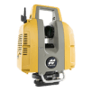
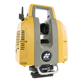
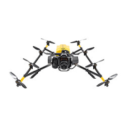
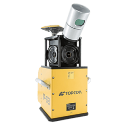
Create site overviews when and where you want them. These easy-to-use Topcon solutions delivers high-accuracy scanning, aerial mapping and mobile mapping quickly and affordably based on a user-definable area, altitude and photo intervals. Create DTMs, orthophotos, basic measurements, overlays, 3D models and high density point clouds with georeferenced 360 degree images overlaid for easy feature recognition, cut/fill analysis and even as-built design comparisons. You can rely on Topcon automation, RTK and wireless features to get you results promptly, so you can get on with your work.
A 3D POINT CLOUD TELLS A THOUSAND STORIES
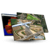
Topcon mapping and scanning systems are the perfect solution when a massive amount of asset data needs to be collected in a short amount of time. There’s no need to waste resources revisiting a site to gather missing data. Our easy-to-use software can make measurements and extract the necessary information for GIS or CAD software, right from the office. Make volumes and assets visible for everyone.
STAY SAFE, STAY PRODUCTIVE
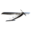
Safety is a high priority for any mining operation. Keep field personnel out of harm’s way with our high-performance mapping systems. Send just one person to the site in a mobile mapping vehicle or collect data remotely using an unmanned aerial vehicle. Stay secure while generating volumes, site maps and overviews.
MONITORING SOLUTIONS
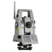
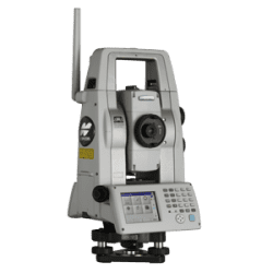
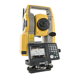
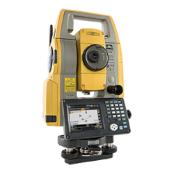
Spend minimal time on site, perform simple installations and collect real time data with Topcon's RAPID™ Automated Deformation Monitoring System (ADMS). By incorporating the functionality of the Topcon MS AX II series robotic total station, Topcon designed a complete monitoring package appropriate for projects including construction, tunnel convergence, mining, dams and asset management. The ADMS is a revolutionary tool that is easy to install and manage.
UNDERSTAND THE FORCES AT WORK
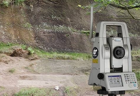
Operating a real-time ADMS solution allows you to create valuable datasets and analyze the forces at work on your project, then take appropriate action in a timely manner.
You can use GSM, radio or Wi-Fi on site to ensure that both live monitoring data as well as alerts and warnings are received and processed remotely.
MONITOR DEFORMATION AND ELEVATE SAFETY
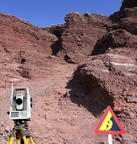
Quantify deformation movement at sub-millimeter accuracy to identify even the smallest changes in displacement and increase site safety on high-risk monitoring projects, with a robotic monitoring system from Topcon.
TOPCON SURFACE AND SUB-SURFACE MINING PRODUCTS
For outstanding performance in all your environments.
For geopositioning, construction and mapping professionals the MAGNET suite links field to office in a secure online environment, improving management for entire teams.
The complete line-up of Topcon excavator systems deliver accurate, reliable guidance no matter your application.
Site connection brings management, visibility and speeds up processes. Bright full-color interfaces give
full touch-screen contol. Select 2D or 3D solutions to suit your needs and power your growth.
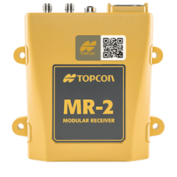
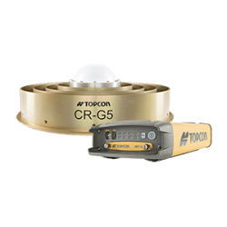
Topcon GNSS products deliver superior performance through a broad array of patented technologies. Combining signals from multiple satellite systems, our GNSS products calculate highly accurate positions in three dimensions.
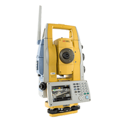
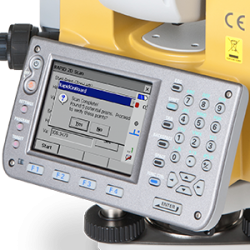
Topcon Total Station Solutions feature renowned optics and legendary durability combined with cutting-edge technology to maximize measurement productivity on a daily basis. With the most powerful reflectorless system available, you receive superb prism tracking and a built-in security standard.
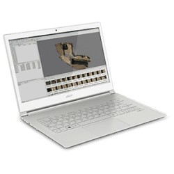
A pioneer in point cloud data creation, Topcon offers various solutions to meet your requirements. These systems combine diverse technologies with user-friendly interfaces including laser scanning, GNSS, and photogrammetry.
Our software is designed for the way you work, with both specialized and modular solutions that integrate with Topcon hardware, and cloud connectivity to bring it all together.
Topcon Enterprise Solutions are revolutionary anytime/anywhere connectivity and remote
management solutions that will make every geospatial and construction firm more productive.
Insights & testimonials
We've got you covered
Need more info?
We can email you additional product information. Your contact information will never be shared.
Reach out
Reach out to one of our partners for more information or a price quote. Use the link below to find an expert in your area ready to help your business software needs.
Topcon today
The latest stories and insights from Topcon, our customers and partners.
