Utilities
Gain Control through Capturing Reality
Locate, measure, analyze and secure assets
and infrastructure with Topcon solutions.
Locate, measure, analyze and secure assets and infrastructure with Topcon solutions.
Topcon knows asset management
Know what's really happening with your plant and your distributed infrastructure
with a range of solutions configured to support mission-critical decision making.
Integrated
Topcon solutions draw upon a broad range of technologies, combining measurement techniques into unified workflows for you. Our capture and sharing solutions allow your enterprise to capture from a range of locations, and share the data where it needs to go. Whether you need high-density point clouds, imaging, or robotic monitoring, or hand-held GNSS asset attribute mapping, we know how to make it all work for you.
Accurate
For utilities, the trend is moving toward greater and greater need for accuracy. Topcon solutions allow you to balance speed, flexibility and accuracy, into the mix that solves your challenges, and allows you room to grow. From meter, to decimeter, to centimeter to millimeter, Topcon can help you find the mix that fits.
Reliable
Topcon can help improve both quality and availability of the information you rely upon for decision-making. Our mobile mapping solutions capture massive amounts of data to be mined at will for many different purposes: power-line sag, asset condition, compliance, etc. Our monitoring solutions supply critical repeated measurements at unmatched accuracies. Tell us what you need to know, and we can provide the solution.
Measurement and management
solutions for the utility industry
Whether you are locating water valves, monitoring a hydro-electric plant,
or tracking asset condition of overhead wires, Topcon has a solution.
MS AXII SERIES AND RAPID ON-BOARD
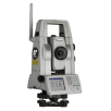
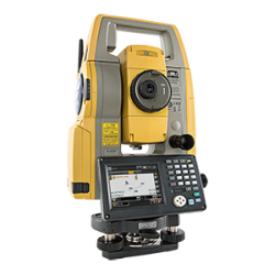
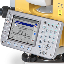
An instant, intuitive solution that allows you to walk on and off site with all the equipment, and complete other activities while monitoring readings are being collected on-board the instrument. The high-precision MS AX II series total station from Topcon is combined with trusted delivery partner MSP's RAPID™ on-board software.
TARGETED APPROACH
The Rapid on-board solution is ideal for certain engineering activities that require predetermined or short-term monitoring tasks. The easy set-up and lack of external or peripheral equipment is tailored for fast deployment and redeployment across multiple monitoring sites.
Easy to Get Started

SET-UP
Create a new project, identify and locate the monitoring points with Matrix Detection technology unique to the Topcon MS AX II series Total Station. Set control, outline sampling frequencies.
COLLECT
Start the monitoring project and the instrument will complete it automatically, so you can perform other tasks.
ANALYZE
View the deformation of each point against initial data in dE, dN & dRL live on the display, or download the collected data and generate reports in RAPID™ STARPRO Lite.
Distribution Infrastructure Mapping
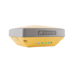
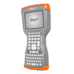
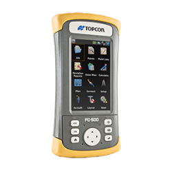
The GIS mapping needs of a water utility are unique, given the need to capture horizontal and vertical positions with greater accuracy than typical mapping solutions can provide. This solution provides high accuracy (within 1-2 centimeters) while still having the flexibility and ease of use of handheld GNSS solutions. Take an existing map or dataset into the field, confirm or add points, lines or shapes, and then push the data to the cloud via built-in cell or wireless connections.
Topcon high accuracy point-to-point solutions: the easiest way to get high accuracy data into a GIS database.
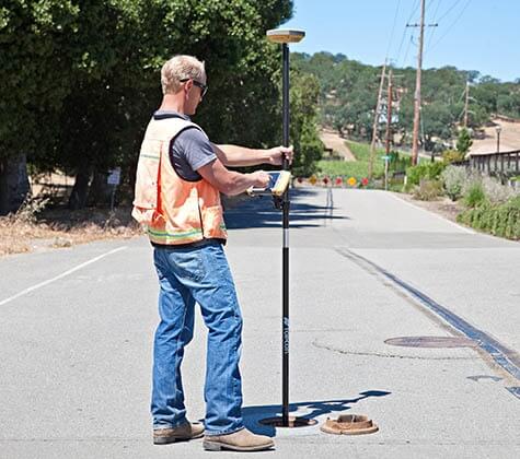
Work in native shapefile formats in the field so data conversion steps are unnecessary. The field software has been developed from a GIS perspective making the learning curve to getting high accuracy data extremely minimal. Hardware configurations are simple, lightweight and cable-free.
Highly Versatile
Topcon high accuracy GIS solutions are highly versatile and can be easily configured for a variety of user requirements. Use a Network DGPS or WAAS correction for submeter work in areas such as Natural Resources and Environmental Management. Add a cellular enabled controller for sub-decimeter or centimeter level corrections for applications such as Utilities or Roadside Inventories.
Integrated Lightweight Design
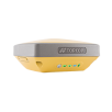
With Topcon's GNSS high accuracy receiver as part of your high accuracy GIS solution, you don't have to sacrifice durabilty and performance for lightweight design. The integrated design includes GNSS receiver, power supply, memory and communications module: all in a rugged, environmentally sealed housing. No more hardware headaches in the field!
Easy to Get Started

Create a Feature Code Library
Build a list of point, line and polygon features to map in the field. Add a list of attribute fields for those features.
Sync your Device
Sync the field and office devices to wirelessly transfer the Feature Code Library and any map layers or images to your field device. Configure your device to high accuracy collection using Network RTK corrections.
Map
Occupy and map points, lines and areas of interest. Log attribute data and images, if required. Sync with office software and transfer data.
Start with more complete data
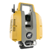
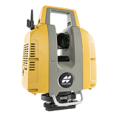
Every jobsite presents its own set of unique challenges. In those applications that stand to benefit the most from mass data collection like Plant Engineering and Design, a 3D laser scanner deployed at a power generation or process plant can be the answer to reducing costs and increasing efficiencies when it comes to maintenance and upgrade projects. The Topcon GLS-2000 scanners series deliver the perfect mix of industry leading technology and user-friendly operations for this purpose. Combined with ScanMaster software, the GLS-2000 series provide users with a single solution to capture, visualize, and extract features from complex environments with an unmatched combination of speed, accuracy, and detail.
Reduce Costs
The GLS-2000 series collect accurate data the first time at the field site. Three different models are now available based on the range requirements of the target application. With selectable measurement modes, the GLS-2000 series empower you to choose the optimal scanning speed / range based on site conditions on a scan-by-scan basis. The resulting digital point cloud accurately depicts the existing plant conditions and can be shared immediately with co-workers for planning maintenance, upgrades and plant modifications. Human error and re-work costs are significantly reduced.
Improve Safety
Using the GLS-2000 series minimize the number of people deployed to the site to collect data. Due to it's long-range measurement capability, those operating the laser scanner may be positioned at safer distances from hazardous materials, and are on site for shorter amounts of time than with traditional data collection methods, thus minimizing risk and any possible personal injury.
Enhance Efficiency
Customizable scan resolution defaults working in combination with dual (5MP) digital cameras for collecting color imagery, ensures that no detail goes uncaptured. Data is accurate and complete and field re-visits are unnecessary. After processing in ScanMaster software, file export to a broad selection of formats, including Topcon’s widely accepted .CL3, which support today’s most requested design, analysis, and modeling applications.
With Topcon, just Scan, Process and Deliver...
Perfect Fit
Mobile Mapping technology is a great fit for Power, Electric and Distribution Utility applications. When massive amounts of data are required, collecting point cloud and image data quickly from a vehicle allows for utility management of large areas that are difficult to cover with point-to-point mapping on the ground. Use the point cloud and image dataset to manage and design utility networks, assess risk management and compliance, map line sag, look for ground clearance and encroachment. With 3D mobile mapping these tasks are done quickly and accurately. Change detection can easily be monitored over time.
Speed up Utility Data Collection
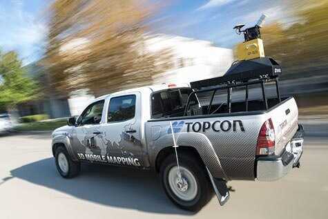
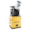
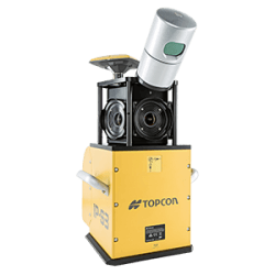
When utility systems need to mapped on a large scale, look no further than Topcon mobile mapping solutions. By mounting our integrated measurement sensors (GNSS, laser scanner, camera, IMU, wheel encoders) system to a vehicle, users get all field data in a short amount of time.
Just drive at normal speeds and get accurate locations and photographic visual detail of all roadside utilities. There is no need to take time to revisit the field for missing points. All-in-one office software can then be used to view, process, project and export 3D point cloud, trajectory and panoramic image data.
Improved Safety
Keep field personnel off the street. Just send your small vehicle-based team into the field to collect data with a Topcon mobile mapping system. Field personnel are completely out of harms way when getting logging feature locations and attributes.
A wide range of products for
a wide range of Utility applications
Explore the options Topcon has available to meet all of your measurement and positioning needs.
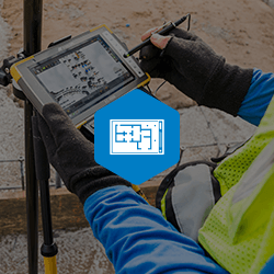
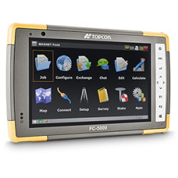
For geopositioning, construction and mapping professionals the MAGNET suite links field to office in a secure online environment, improving management for entire teams.
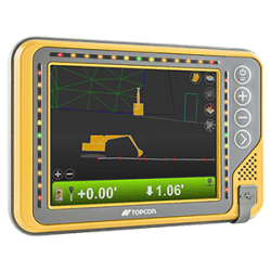
The complete line-up of Topcon excavator systems deliver accurate, reliable guidance no matter your application.
Site connection brings management, visibility and speeds up processes. Bright full-color interfaces give
full touch-screen contol. Select 2D or 3D solutions to suit your needs and power your growth.
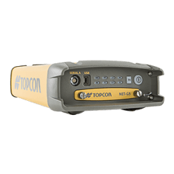
Topcon GNSS products deliver superior performance through a broad array of patented technologies. Combining signals from multiple satellite systems, our GNSS products calculate highly accurate positions in three dimensions.
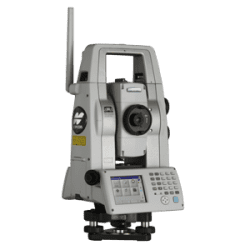
Topcon Total Station Solutions feature renowned optics and legendary durability combined with cutting-edge technology to maximize measurement productivity on a daily basis. With the most powerful reflectorless system available, you receive superb prism tracking and a built-in security standard.
A pioneer in point cloud data creation, Topcon offers various solutions to meet your requirements. These systems combine diverse technologies with user-friendly interfaces including laser scanning, GNSS, and photogrammetry.
Our software is designed for the way you work, with both specialized and modular solutions that integrate with Topcon hardware, and cloud connectivity to bring it all together.
Topcon Enterprise Solutions are revolutionary anytime/anywhere connectivity and remote
management solutions that will make every geospatial and construction firm more productive.
Insights & testimonials
We've got you covered
Need more info?
We can email you additional product information. Your contact information will never be shared.
Reach out
Reach out to one of our partners for more information or a price quote. Use the link below to find an expert in your area ready to help your business software needs.
