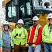
Grade Management
Don’t just scratch
the surface
There's far more about getting to grade than meets the eye. We help streamline that often-complex process, delivering superior results.
There's far more about getting to grade than meets the eye. We help streamline that often-complex process, delivering superior results.
MAXIMIZE YOUR GRADE MANAGEMENT EFFORTS
Creative solutions from Topcon help you manage every aspect of your project.
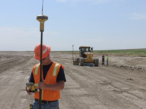
Mobile Grade Mapping Made Easy
Stockpiles and assets are constantly changing in form, condition and location. Mass Data Collection enables you to map a large area using a vehicle-mounted system, as quickly as you can drive across it. You’ll only be in the field to gather data. Then you can move inside to process it to a 3D point cloud. Mass Data Collection generates a lot of data that can easily be navigated using the 360º camera views. Return to your data as often as necessary to answer any questions about the site.
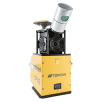
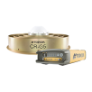
IP-S3
Integrated mobile 3D mapping
A 3D POINT CLOUD TELLS A THOUSAND STORIES
Topcon mapping and scanning systems are the perfect solution when a massive amount of asset or as-built data needs to be collected in a short amount of time. There’s no need to take time to revisit a site to gather missing points. Make measurements and extract data after the fact, in easy-to-use Topcon office software. Export to your GIS or CAD software. Make volumes and assets visible for everyone.
Easy to Get Started

Define driving plan
Prepare yourself with a site driving plan. This will help in minimizing overlaps.
Start driving
The mobile mapping vehicle will scan, take images and positions along its driving plan and store them for further processing.
Process and use data
The Topcon software ingests your mobile mapping data, along with imagery, produces a photo-real 3D model, complete with topographic data. The data can immediately be used for volume calculations, to measure clearance distances and to give you visual office tools for asset management.
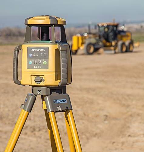
TIGHT TOLERANCE GRADE SOLUTION
GNSS grade management is flexible, easy to learn and be productive with. But managing costly materials and paving requires tighter vertical tolerances. This solution gives you all the flexibility of GNSS, but with much finer tolerances. No total station is required, and the single laser transmitter can serve all sensors within its radius, for both machines and rovers. No other changes are necessary: you can use the same software and job files, and all the same management methods.
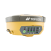
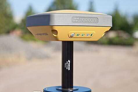
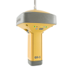
HiPer V
Versatile integrated receiver
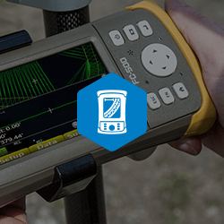
Pocket 3D
Construction grade management

Sitelink3D Enterprise
Real-time site management
A SINGLE TRANSMITTER FOR ALL USERS
A unique Topcon technology allows you to have multiple machines and rovers working from the same elevation control. Multiple graders or pavers can be working off the same design and same elevation reference to ensure maximum accuracy and efficiency. Grade checkers behind the paver instantly check on accuracies delivered, using millimeter control as they verify cut/fill data and generate updates to jobsite progress, all from a single transmitter blended seamlessly with your Topcon GNSS systems.
Easy to Get Started

Turn mmGPS transmitter on
Set the mmGPS transmitter over a survey hub using a fixed-height tripod, and turn it on. The transmitter will self-level.
Add the laser sensor to your rover
Mount and plug in the added Millimeter GPS sensor. Select the chosen transmitter in your controller. Your vertical accuracy immediately increases by picking up the laser beam.
Start your job
Continue to perform your desired grade management routines. You’ll get millimeter accurate grade checking results, with the flexibility of GNSS and the accuracy of a total station.
MANAGE YOUR JOBSITE WITH EASE
Start with a lightweight, easy-to-use system for checking grade and creating simple job designs. Pair that with long battery life and our leading-edge GNSS receivers, and you have an unbeatable jobsite solution. With the grade checker and machines using the exact same file types, you can push updates directly to the machine from your data collector. You can even measure stockpile volumes and stakeout utilities and buildings.
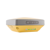
HiPer SR
Compact lightweight site receiver
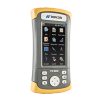
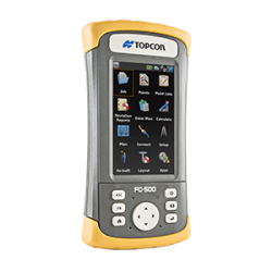
FC-500
Portrait touch-screen controller
Pocket 3D
Construction grade management
Topnet Live
GNSS correction service
Grade checking with the highest flexibility
GNSS Network solutions bring speed and accuracy. Using a lightweight jobsite network solution gives you all the flexibility you need. Complete freedom to go and stand where ever you need to go. No need for direct line of sight or base stations. Everything in own control. Just connect and you’re off. Off staking out, measure stockpiles, check grades.
Hiper SR
Lightweight yet tough enough to survive a 2m drop, and enough rechargeable battery for 20 consecutive hours of operation. Topcon’s HiPer SR adds tremendous opportunities to your job site. The integrated receiver operates cable free, with no antennas, battery doors, or connectors. Fully loaded with for unmatched performance flexibility to meet the needs for all jobs, large or small.
Easy to Get Started

Power Up
Switch your receiver and controller on and receive instantly GNSS signals and simultaneously browse to the right project on your controller.
Connect to TopNET live
Improve your accuracy to RTK with a simple connection to TopNET live for stable network corrections.
Start Working
With RTK fired up and the right project in front of you go ahead and fulfill your job.
END-TO-END GRADE MANAGEMENT
Improve your speed, accuracy and efficiency across the grade management spectrum with our High-Performance, Accuracy Solution. From simple tasks like improving your crew's ability to check grade to providing you with a better method for utility and building stake-out to enabling you to bring jobsite designs in-house, we provide the tools to help bring it all together.
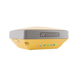
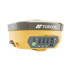
GR-5
Advanced feature-rich receiver
GRADE CHECKING AT TOP SPEED
Optimizing the grading process means you get the results you want faster than ever before, and you’ll have a higher level of confidence in those results while facing fewer unforeseen challenges. A typical process like volume calculation, which can be time-consuming and costly, becomes much simpler – just a few quick rover measurements. No wonder Topcon technology is praised throughout the industry for its ease of use.
MAGNET: MORE THAN THE SUM OF ITS PARTS
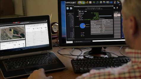
Individually, the MAGNET suite of products (MAGNET Field, MAGNET Office, and MAGNET Enterprise) are powerful tools providing on-site positioning and office-to-field connectivity, CAD capability and data/asset management. Connectivity, however, they can take your grading operation to a whole new level by managing, streamlining and optimizing the overall workflow — in real time — between your project manager, field crews, office personnel and engineers.
Come to the source for superior
grade management products
Topcon is an acknowledged leader in grade management tools,
with rugged ease-of-use and feature-rich accuracy to spare.
Topcon has pioneered many of our greatest innovations specifically for our grading systems.
Unmatched grading speed, flexibility and accuracy using inertial sensing and superior
vertical accuracies using patented zone lasers for critical applications.

Topcon GNSS products deliver superior performance through a broad array of patented technologies. Combining signals from multiple satellite systems, our GNSS products calculate highly accurate positions in three dimensions.


Our software is designed for the way you work, with both specialized and modular solutions that integrate with Topcon hardware, and cloud connectivity to bring it all together.
Lasers, levels and theodolites should just work. Topcon instruments remove the guesswork with auto-levelling, auto-alignment and other features that let you work faster and more accurately.
Insights & Testimonials
We've Got You Covered
Need more info?
We can email you additional product information. Your contact information will never be shared.
See it in action
Your local dealer can't wait to show you what we can do for your business.