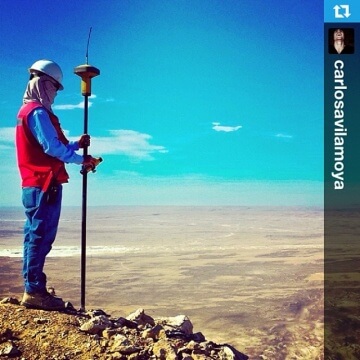
Topografía
Precise positioning from the field to the office and back
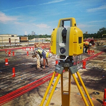
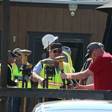
Geopositioning solutions for surveying, mapping, monitoring, construction
Geopositioning solutions for surveying, mapping, monitoring, construction
WATCH VIDEO
Measure, design or build your way
Our positioning technology is known around the globe for ease of use and unparalleled flexibility. End your projects on time and on budget with the most accurate and reliable surveying technology out there.

Integration without complication
Non-compatible, proprietary file formats and data silos increase your workload and reduce efficiency. Optimize your time and effort with tools that unite all your file and data types into one compatible environment – allowing you to perform your work in the field and easily export data where it needs to go.

Close enough isn’t good enough
Inaccurate survey data can damage your reputation and increase your liability. From robotic total stations, GNSS, and beyond, our products perform under the most demanding conditions to deliver data, hardware, and software you can build upon with confidence.
Learn more about our solutions by selecting your appropriate application.
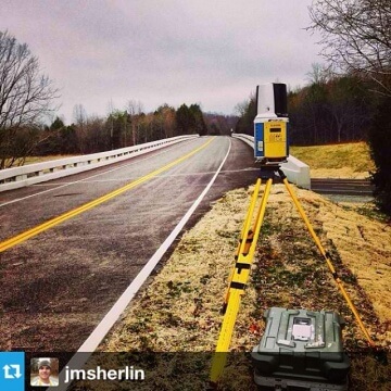
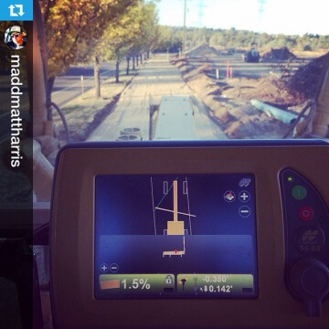
Consejos prácticos y testimonios

Sorteando rocas: una nueva carretera costera en el Océano Índico


Topcon hoy
Las últimas historias y consejos prácticos de Topcon, nuestros clientes y socios.