Forensics
High Precision Solutions for Demanding Professionals
Forensic scenes are challenging and
exacting. Topcon provides the
capability to match each situation.
Forensic scenes are challenging and exacting. Topcon provides the capability to match each situation.
Complete Range of Forensic Solutions
Whether your incident is contained within a single room, or is spread over
a large outdoor area, we can work with you to overcome any challenge.
Easy Workflow
The Forensic workflow is designed to allow experts to carry out their tasks without distraction. It is designed to enhance and complement established procedures without compromising integrity. Data can be easily exported to third party specialist packages where necessary.
Fast and Accurate
The speed of set-up and operation of Topcon's forensic solutions is critical in reducing your time at forensic scenes. Pressure is always on to clear scenes and Topcon solutions will give you the power to collect all your data and leave scenes expeditiously.
Fully Integrated Data
Topcon's forensic solutions allow the complete integration and coordination of data independent of size. Whether you need to use aerial data collection or capture a small number of ground based points, all of Topcon's solutions coordinate in a seamless manner to provide you with easily usable data sets.
Technology designed to work at all forensic scenes
Topcon works with you to bring cutting edge technology to your forensic investigation.
Fast, reliable evidence gathering
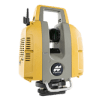
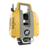
Forensic scenes often have large amounts of complex data to collect for which laser scanning is the ideal solution. The ability to quickly capture every piece of evidence with high accuracy gives forensic investigators the confidence that every aspect of a scene has been covered before they leave. Utilizing the dual on-board color cameras, the data can be colorized to produce photo realistic 3D point clouds. These can be used to produce orthophotos, carry out measurements and analysis.
Determine the area of interest,
collect data, then process.
Topcon's laser scanners series is both high-speed and long-range. It can suit different range requirements based on your target application, so there is no need to limit the data collection area of your scene. Collecting data is a simple process due to an easy to read graphical user interface. There is no need to set out targets or carry out complicated setups as Topcon's scanner software will automatically align your scans based on shape matching within the scene.
Intuitive Data Flow
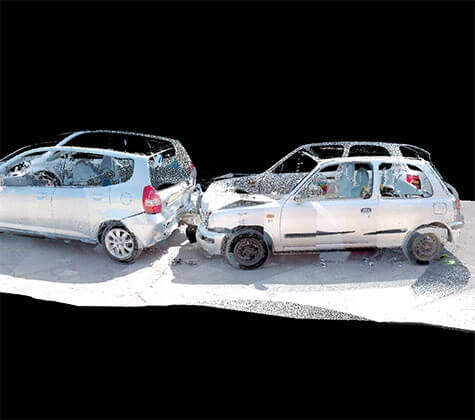
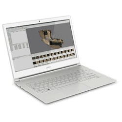
Data can be previewed on the scanner before leaving the scene to ensure complete data capture. All the data captured at the scene can be easily transferred to a computer where processing in ScanMaster software is quickly completed. Exporting clouds or objects is simple as the data format is compatible with today’s most widely used third-party software. This makes quick work out of forensic analysis such as bullet trajectory or accident reconstruction.
Most Complete, Most Accurate Data Capture
Customizable scan resolution defaults, working in combination with dual 5MP digital cameras for collecting color imagery, ensures that no detail goes uncaptured. After processing in ScanMaster software, file export in a broad selection of formats, including Topcon’s .cl3 format, supports today’s most requested design, analysis, and modeling applications.
Easy to Get Started

Identify the data to be collected
Topcon's laser scanner series allow you to choose the most appropriate settings relevant to your scene using the on-board graphical user interface.
Scan your scene
Place the Topcon scanner on a tripod, switch it on and start scanning. The ultra high-speed of Topcon's laser scanner means that you do not spend unnecessary time at a scene. The built-in color cameras capture your scene at each scan position. You do not need to waste time by putting out targets as they are not required for scan matching during later processing.
Process using ScanMaster software
Using Topcon ScanMaster software, all your scans will be automatically aligned using unique shapes detected in each scan. As a result, photorealistic 3D data is produced.
Hybrid Data Collection
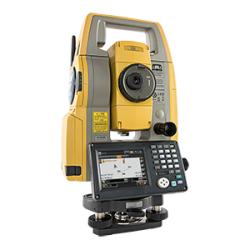
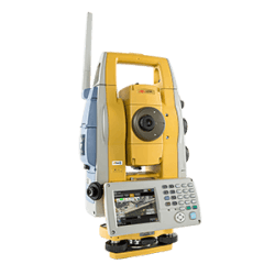
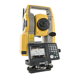
Once you've identified the data required at an outdoor scene, you need a flexible high speed solution that accurately captures your forensic evidence. While collecting data at outdoor incidents such as car crashes, the presence of buildings and the topography of the land often interfere with line-of-sight. Surveying with a total station would involve repositioning at different locations. Topcon's Hybrid Solution eliminates this problem by allowing investigators to easily switch from line-of-sight optical measurements to GNSS measurements and back, as appropriate.
Rapid Uninterrupted Workflow
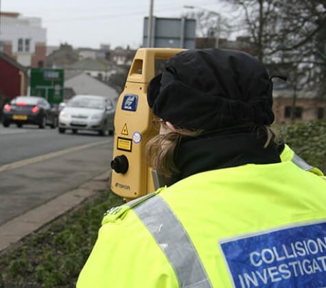
We know that you need to be able to quickly and easily collect data at a forensic scene without having to worry about the technology you are employing. Topcon's Hybrid Positioning gives you the freedom and confidence to tackle any outdoor scene such as a train or aircraft crash. Topcon advanced robotic tracking will lock onto your prism and automatically follow you around your scene. When your view of the robotic instrument is blocked you can seamlessly switch to GNSS collection. There are no interruptions to data collection, you can keep your mind on the job in hand.
Visible Evidence
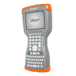
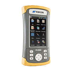
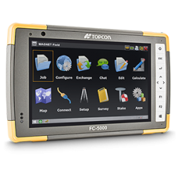
Throughout the whole of the forensic investigation and data collection process, your data is clearly visible on a choice of powerful field controllers using Topcon's MAGNET Field software. This seamlessly works in the most demanding of situations which means that you can rely on your Topcon solution to enhance your role in the field.
Easy to Get Started

Set up your robotic instrument on site
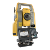
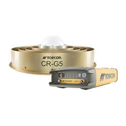
Your Topcon robotic or imaging total station communicates with the 360 degree prism. When line of sight is interrupted, the GNSS receiver assures that the system will rapidly reconnect.
Collect your data
Collect your data using robotic or GNSS measurements, switching quickly between the two as appropriate. All data is stored in the same format, making hybrid use seamless for you.
Easily transfer data
Check your data on the controller and when finished easily transfer scene measurements via Topcon EnterpriseSservices to desktop software for plan production.
Unmanned Aerial Data Collection
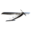
Create detailed aerial maps without the use of traditional Ground Control Points (GCPs). Topcon’s Sirius Pro delivers high accuracy aerial mapping quickly, easily, affordably- and according to user definable area, altitude and photo intervals. Create quick DEMs, orthophotos, carry out measurements and data analysis. Plot change over time and create fly-throughs of your forensic scene. Rely on Topcon’s automated high precision technology to deliver your results professionally, accurately and quickly.
EASILY UPGRADeABLE
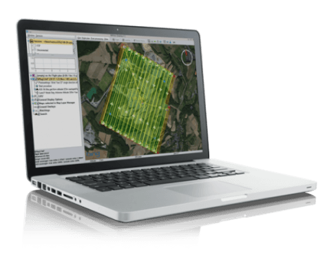
Topcon offers both an entry and an advanced level of the Sirius UAS, allowing you the choice of upgrading from entry level over time, or engaging with full GNSS RTK immediately. Speed of operation is one of the key benefits of the advanced Sirius Pro with RTK GNSS, as it does not require the use of manually located Ground Control Points.
HIGHLY FLEXIBLE
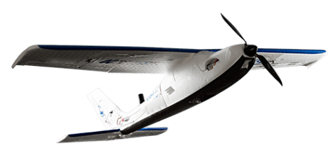
For complete flexibility when using the advanced Sirius Pro, you can choose between the use of RTK corrections from a local on-site GNSS base station, or use any broadcast regional GNSS network correction services.
Easy to Get Started

Create Your Flight Plan
Flight planning consists of selecting your area of interest in the MAVinci software, and setting the required resolution. Flight plans are automatically calculated and transferred to the aircraft.
Data Acquisition with Topcon Sirius aircraft
After hand launching, the plane automatically follows the programmed flight plan acquiring hi-res imagery and highly accurate RTK coordinates. There is a choice of automatic landing to the launch point, or manual landing with autopilot assistance.
Process Data in MAVinci Software
The progress of the aircraft and it's parameters can be tracked in the field through software. After landing the images and coordinate data are combined in MAVinci Desktop software using photogrammetric modeling to produce a photo-real 3D model, complete with topographic data. This data can be used for any 3D application as required.
A range of product options and
technologies for any incident type
Topcon products deliver speed, comprehensive coverage, accuracy, and excellent documentation.
For geopositioning, construction and mapping professionals the MAGNET suite links field to office in a secure online environment, improving management for entire teams.
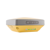
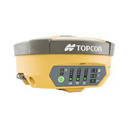
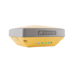
Topcon GNSS products deliver superior performance through a broad array of patented technologies.
Combining signals from multiple satellite systems, our GNSS products calculate highly accurate positions in three dimensions.
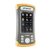
Topcon field controllers incorporate the graphical Windows® operating system on a color touchscreen display.
They simplify data collection for capturing grade waypoints and assuring that you meet spec accurately.
A pioneer in point cloud data creation, Topcon offers solutions to suit your application. These systems employ or combine such diverse technologies as laser scanning, GNSS and photogrammetry while presenting user-friendly interfaces.
Employing deep integration with Topcon hardware, cloud connectivity and both specialized
and modular solutions, Topcon software packages are designed for the way you work.
Topcon Enterprise Solutions are revolutionary anytime/anywhere connectivity and remote
management solutions that will make every geospatial and construction firm more productive.
Insights & testimonials

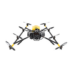
Intel® Falcon™ 8+ Drone – Topcon Edition | NEC and Skynetwest Case Study
Learn more about the Intel Falcon 8+ Topcon Edition at
We've got you covered
Need more info?
We can email you additional product information. Your contact information will never be shared.
See it in action
Your local dealer can't wait to show you what we can do for your business.
