Forestry
Wood is our most important sustainable resource
From site mapping, to asset inspection to tracking trees, Topcon smart forestry solutions give you the tools to be more efficient, improve your accuracy and better manage your trees, data, machines, and crew.
From site mapping, to asset inspection to tracking trees, Topcon smart forestry solutions give you the tools to be more efficient, improve your accuracy and better manage your trees, data, machines, and crew.
THE TOPCON FORESTRY DIFFERENCE
We've been part of your industry for decades, and we listen and understand the way you work.
What we've learned allows us to provide real solutions for the real work you do.
Work Smarter
Topcon combines technology innovations to provide you with unparalleled management and productivity gains. Start sooner, manage efficiently, speed up your workflow and eliminate re-work. That's Topcon smart!
Work Leaner
Knowledge is power - every crew member and machine on site can do more with the visibility and ease of use that Topcon solutions provide. Get more done with less, and with reliable and accurate results. It's Topcon.
Be Ready to Scale
Topcon solutions let you take on bigger jobs with greater profitability, or process more forestry sites within a year. Topcon forestry solutions can mean your ticket to growth, and we'll be right along with you, helping you grow.
Can't see the wood for the trees?
Eliminate your on-site visibility issues by using our advanced GNSS positioning solutions.
Efficient Inventory
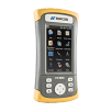
Inventory is the key element for proper forest management. In combination with our mobile GIS software solutions you can upload your existing maps and shapefiles and never get lost in a forest of data again! Update or generate attributes according to existing attribute tables, or simply create new ones as you go. And carry out these tasks on the fly, using Topcon cloud-based solutions to ensure that site and office work is always up-to-date.
Unparalleled GNSS Performance
Use Topcon GNSS tools and our experience of tracking satellite signals under harsh environmental conditions such as under dense trees canopies to be able to identify your permanent sample-based inventory points or use our tools for area-based inventories and forest management planning.
Topcon has consistently developed and produced industry leading solutions for providing the technology and tools that are required in these environments. Where others may fail, Topcon will allow you to fix your position, and carry on working.
Increasing the efficiency of forest machinery
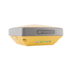
Positioning systems were welcomed into forestry with the widespread adoption of automated methods for the removal of tree trunks for processing. Using the Topcon GB-3 GNSS receiver and eTimber software utility, you can fully automate many aspects of the logging and hauling timber process speeding up forestry workflows.
Logging and Hauling Management
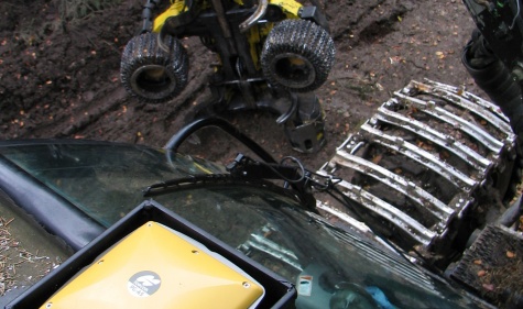
With the increase in the machine automation of tree and log removal processes, it is more important than ever to record and document the temporary skid trail movements used by Forwarders and Harvesters during such removal, as efficiently as possible.
Topcon eTimber software runs a rugged on-board, cab-mounted PC to automatically document the harvesting process. With this fully integrated, on-board system, your team can concentrate on steering down the forest trails while documentation is carried out automatically.
Superior tracking
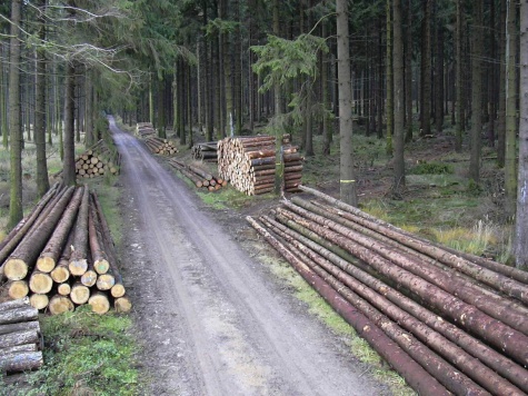
As the pioneer of multi-constellation GNSS solutions, Topcon has a long history of solving signal reception issues in “urban canyons”. Drawing on this expertise, our systems can benefit users in similar geographic scenarios that have potential to block satellite signals such as forests.
Topcon can offer a totally unique system with no need for any local correction signal to ensure the accuracy required to identify skidder trails.
Forest View
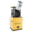
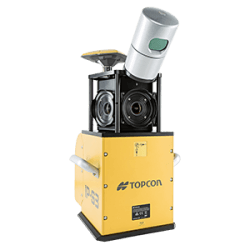
Our IP-S3 mobile mapping solution has a rich heritage amongst many worldwide “streetview” services. Topcon enables you to make use of this innovative solution type and extend its use to your forest fire roads or access trail applications facilitating the production of highly realistic remotely navigable forest view systems.
Fast Mapping

Topcon mobile mapping systems allow the user to drive or fly through a variety of environments, whilst measuring huge amounts of geo-located data… we call this Mass Data Collection (MDC). Imagine collecting millions of points of geographic information, without having to step out of your vehicle!
Whether you're responsible for either highly frequented tourist forest environments or more general forest management – take a drive with our IP-S3 Mobile Mapping system and generate your own forest 'street' view. Then make it available to the public on your website, or extract 3D or useful visual imagery information for planning purposes from the auto-coloured point clouds and generated 360 degree image.
Eye in the Sky
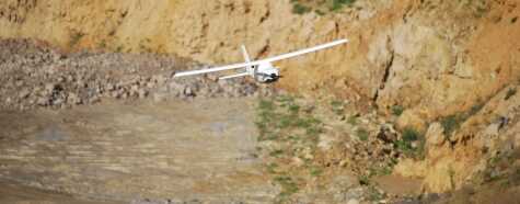
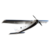
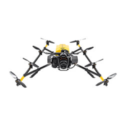
For more open areas with a birds-eye view of the land, the Topcon Sirius Pro UAV (Unmanned Aerial Vehicle) is the perfect solution to capture high-resolution digital stereo-imagery which can be exported to orthophotos, Digital Elevation Models and 3D point clouds.
Thanks to the Sirius Pro's onboard GNSS RTK ability to provide accurate real time positioning of the UAS, there is no need for ground control point establishment and location, thus potentially saving up to 50% of total project time.
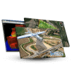
Post-processing of the data is simple. Wirelessly import images into desktop software to create DTMs and orthophotos. Next, carry out basic measurements, produce overlays, create 3D models for cut and fill analysis, and conduct as-built design comparisons.
Map & manage your forestry assets
It’s not just the natural environment that needs attention when carrying out mapping exercises. In addition to forestry resources, you will need to manage and check site assets such as bridges, culverts, and general water-course condition logs; leisure-side facility conditions of features such as trail signs and information points; and also boundary and security features such as site-edge fencing and guard railings for safety and compliance reports. Topcon forestry solutions provide the expert technology to not only map location information but provide easy-to-use software to log asset attribute data and photo log data where needed.
Versatile toolsets
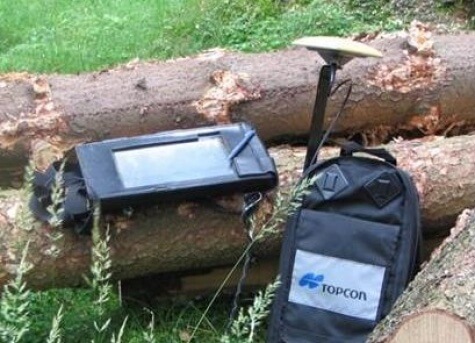
Our high precision GNSS RTK and Network toolsets allow for a huge scope of applications for any forest survey such as road safety recordings, bark beetle monitoring, habitat mapping or documentation of raised hide and their conditions. Topcon will help you derive quicker analysis and more efficient planning of resources.
Advanced Signal Reception
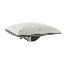
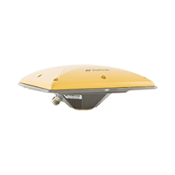
Using the most advanced GNSS signal tracking technologies available, Topcon RTK sensors such as the HiPer V and Tesla RTK /PG-S1 have proved time and again their ability to be able to track multi-constellation signals in the most hostile of conditions, even under dense tree canopies.
Topcon advanced GNSS products and intuitive GIS-based software solutions
Trust Topcon for outstanding performance in all working environments, plus intuitive workflow based software.
For geopositioning, construction and mapping professionals the MAGNET suite links field to office in a secure online environment, improving management for entire teams.
Topcon GNSS products deliver superior performance through a broad array of patented technologies.
Combining signals from multiple satellite systems, our GNSS products calculate highly accurate positions in three dimensions.
A pioneer in point cloud data creation, Topcon offers solutions to suit your application. These systems employ or combine such diverse technologies as laser scanning, GNSS and photogrammetry while presenting user-friendly interfaces.
Employing deep integration with Topcon hardware, cloud connectivity and both specialized
and modular solutions, Topcon software packages are designed for the way you work.
Topcon Enterprise Solutions are revolutionary anytime/anywhere connectivity and remote
management solutions that will make every geospatial and construction firm more productive.
Insights & testimonials

Intel® Falcon™ 8+ Drone – Topcon Edition | NEC and Skynetwest Case Study
Learn more about the Intel Falcon 8+ Topcon Edition at
We've got you covered
Need more info?
We can email you additional product information. Your contact information will never be shared.
See it in action
Your local dealer can't wait to show you what we can do for your business.

